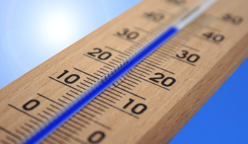
The meteorological summer has long since begun in France – and with full force. For days, temperatures have been noticeably rising across the country. Responsible is a strong high-pressure system directing hot air masses from the Iberian Peninsula and North Africa into France. Meteorologists now expect a prolonged heat period, during which several regions could approach the 40 degrees Celsius mark.
After a spring full of weather contrasts, a phase familiar to many French people is now following. Especially in the southwest, the Rhône Valley, and parts of central France, temperatures could remain well above 35 degrees for several days. Some weather models even indicate local peak values around 40 degrees or higher.
What is particularly concerning is not only the height of the temperatures but their duration. A single hot day can usually still be managed well if the nights bring cooling. This time, however, such nighttime relief threatens to fail in many places. In numerous cities, nighttime temperatures could stay above 20 degrees, even over 25 degrees in densely built-up inner cities. This deprives the body of the urgently needed recovery phase – a typical feature of a genuine heatwave.
Especially the large metropolitan areas are under particular pressure. In Paris, Lyon, Marseille, Toulouse, or Bordeaux, the so-called urban heat island effect further intensifies the strain. Concrete, asphalt, and building facades store enormous amounts of heat during the day and release it only slowly at night. As a result, temperatures in inner cities are often several degrees higher than in the surrounding rural areas. Anyone opening a window at night is more likely to get warm air than a fresh breeze in many places.
The current development fits into a series of exceptionally hot summers. Since 2019, temperature records have been registered multiple times in France. In some regions, values even climbed above 45 degrees. What was once considered an exception now occurs significantly more often.
Climate researchers have been pointing out for years that global warming not only brings higher average temperatures but also increases the frequency, intensity, and duration of extreme weather events. Heatwaves like the current one fit precisely into this picture. Although they still arise from natural weather patterns, these now unfold in an overall warmer atmosphere.
The consequences go far beyond personal comfort. Health authorities advise drinking plenty of fluids, avoiding physical exertion during the hottest hours of the day, and paying special attention to the elderly or people living alone. Hospitals and emergency services traditionally monitor such weather events with increased vigilance.
Concerns are also growing in agriculture. Cornfields, sunflowers, and vineyards react sensitively to prolonged heat, especially when rain is simultaneously absent. Water reserves are already under pressure in several regions. If the drought persists, further restrictions on water use could follow.
For vacationers, the heat brings a certain paradox. Many long for sun and summer weather. However, as the thermometer approaches the 40-degree mark, even outdoor leisure activities reach their limits. While the beaches of the Mediterranean and Atlantic are expected to be crowded, mountain regions are likely to attract more visitors seeking some relief.
The coming days should show whether the symbolic 40-degree threshold will actually be exceeded on a larger scale. One thing is already certain: France faces an exceptionally hot weather phase – and this could be just the start of a long, hot summer 2026.
Author: C.H.