After several days of oppressive heat, severe storms have hit northern France with full force. The Nord department and parts of the Hauts-de-France region were particularly affected by heavy thunderstorms, large hail, and hurricane-force gusts of wind. Within a few hours, the storms left a trail of devastation. Numerous roads were blocked, buildings damaged, and thousands of people were temporarily without power.
Several communities in the Avesnois and Cambrésis regions were hit especially hard. There, storm gusts tore roofs off residential and agricultural buildings, while hailstones shattered windows and severely damaged vehicles. Many residents stood in disbelief at the damage that had developed within minutes.
Wind speeds locally exceeded 100 kilometers per hour. Combined with torrential rainfall and hail showers, this created a dangerous weather situation. Numerous trees fell, blocking roads or landing on parked cars. Several buildings were damaged by falling branches or flying debris.
The power supply was also affected by the storms. Around 24,000 households were temporarily without electricity. Network operator teams worked immediately after the thunderstorms passed to repair damaged lines and gradually restore supply. In some areas, work continued late into the night.
For the fire department, the storm meant a major deployment. Hundreds of emergency calls came in within a short time. The teams pumped out flooded basements, secured damaged roofs, removed fallen trees, and supported residents whose homes were damaged by water intrusion. In many places, municipal public works departments were also continuously active, clearing streets of debris and branches.
Traffic was also disrupted. On several roads, fallen trees and debris caused obstructions. Train services had to be temporarily limited or suspended until tracks were safe to operate again.
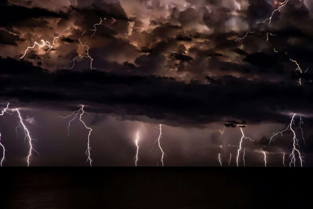
Meteorologists explain the severe thunderstorms by the strong temperature contrast that developed after the preceding heatwave. Hot, humid air over France met significantly cooler air masses. This constellation is considered a classic trigger for especially intense thunderstorm cells that within a very short time can produce enormous amounts of rain, hail, and severe storm gusts.
While cleanup efforts continue in many areas, authorities are already turning their attention to possible further weather developments. For the affected communities, damage repairs are now the primary focus. The storm has vividly demonstrated how quickly a summer heat situation can turn into a destructive natural event.